
Smartphone cameras offer smallholder farmers promising new access to soil health knowledge
Smartphone cameras offer smallholder farmers promising new access to soil health knowledge
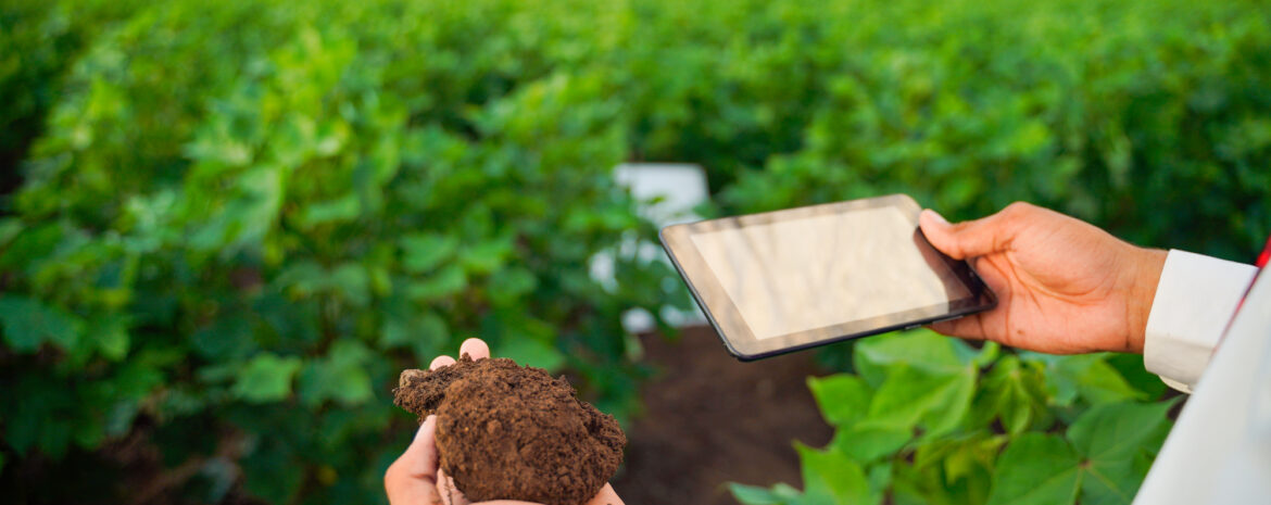
By building a machine learning model that can quickly predict soil organic matter through smartphone camera image analysis, scientists are working to provide farmers with a quick and simple way to determine the nutrient status and health of their soils.
The lack of adequate access to effective soil fertility testing in India, and much of the subtropical and tropical world, has led a group of scientists to explore how a smartphone camera might be transformed into a powerful and readily available alternative. Recently published in the Elsevier journal Biosystems Engineering, the research team describes important advances in the area of image-based soil organic matter (SOM) assessment and how it can streamline the process of evaluating soil fertility.
The study, conducted in West Bengal, India, used soil samples from three agro-climatic zones in the state. By analyzing differences in soil color, the technique uses advanced modelling to quantify SOM status, which can be the basis for determining soil nutrient levels and other characteristics linked to soil quality and soil health.
Image analysis offers advantages compared to traditional methods, which have been limited in their effectiveness and reach. Laboratory analyses require expensive equipment and significantly more labor and time associated with soil sample collection and handling. A rapid and reliable assessment of SOM based on a simple smartphone image would greatly simplify soil fertility assessment in areas like West Bengal.
“Unlocking a simpler way to obtain SOM data creates the potential for new opportunities to advance more precise, data-driven agriculture in crop production regions previously constrained by a lack of nutrient management decision support services,” explains study co-author and Director General of the African Plant Nutrition Institute, Dr. Kaushik Majumdar.
The major challenge faced in this area of research centers around the difficulty in devising a robust analytical system that is able to function equally well across the many possible soil surface color gradients that it may be called to interpret.
To do this, the authors devised a novel method that has improved image interpretation by separating soil and non-soil portions detected within an image. The technique is able to predict SOM values rapidly, and with high correlation to values determined by traditional soil analysis. Through machine learning (ML) the team is teaching their model to continuously improve its accuracy by intentionally challenging it to recognize and exclude any error-inducing signals.
The study had advanced the science of soil image interpretation, but the researchers recognize the need for further research to move the technology into the field. The next steps will begin to expose the model to a wider array of sample images in order to teach the ML model how to better recognize the impact of soil type, texture, moisture, and position in the landscape.
The group of researchers see a not too distant future where a field-ready smartphone application can deliver cost effective and rapid prediction of SOM and soil fertility status for millions of smallholder farmers.
###
Acknowledgment
This summary was extracted from the article published by Gorthi et al. 2021. Soil organic matter prediction using smartphone captured digital images: Use of reflectance image and image perturbation. Biosystems Engineering. https://doi.org/10.1016/j.biosystemseng.2021.06.018
The project team is comprised of researchers from the Agricultural and Food Engineering Department, IIT Kharagpur, India; Department of Experimental Statistics, Louisiana State University, Baton Rouge, USA; Department of Earth and Atmospheric Sciences, Central Michigan University, Mount Pleasant, USA; African Plant Nutrition Institute, Benguérir, Morocco; Department of Agronomy, Bidhan Chandra Krishi Viswavidyalaya, West Bengal, India; National Bureau of Soil Survey & Land Use Planning, Kolkata, India; Mohammed VI Polytechnic University, Benguérir, Morocco.
Contributors: Gavin Sulewski, APNI Editor.